-40%
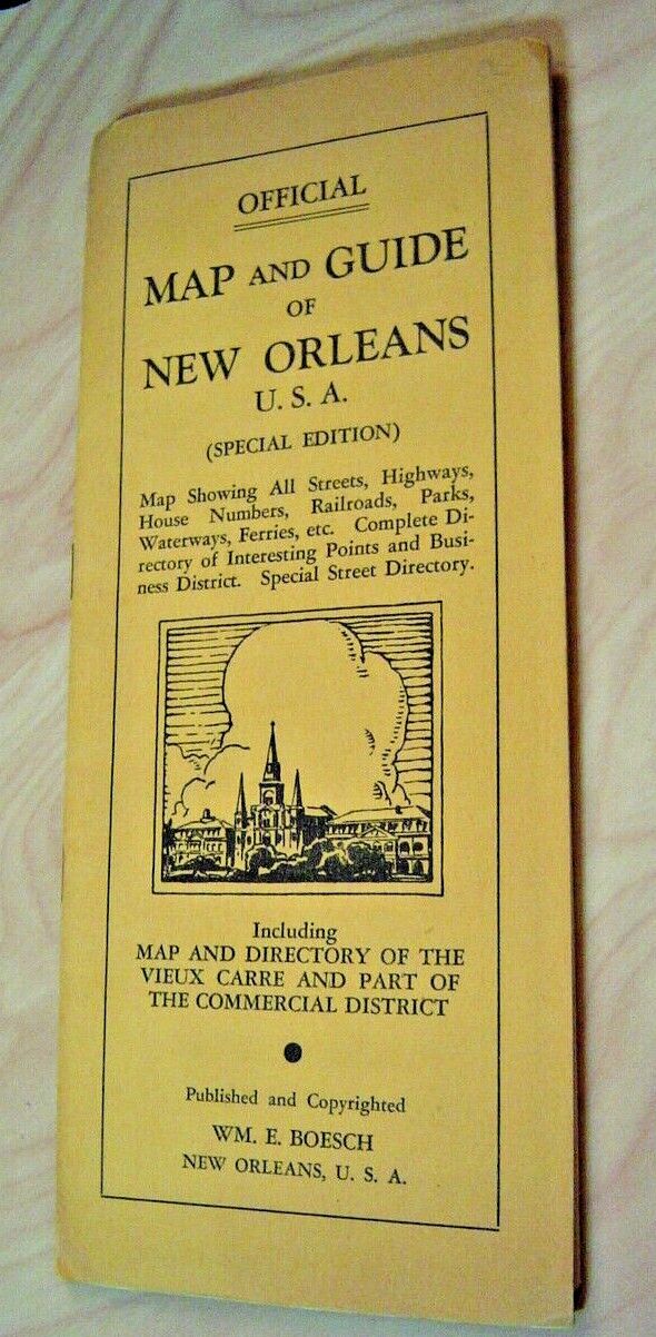
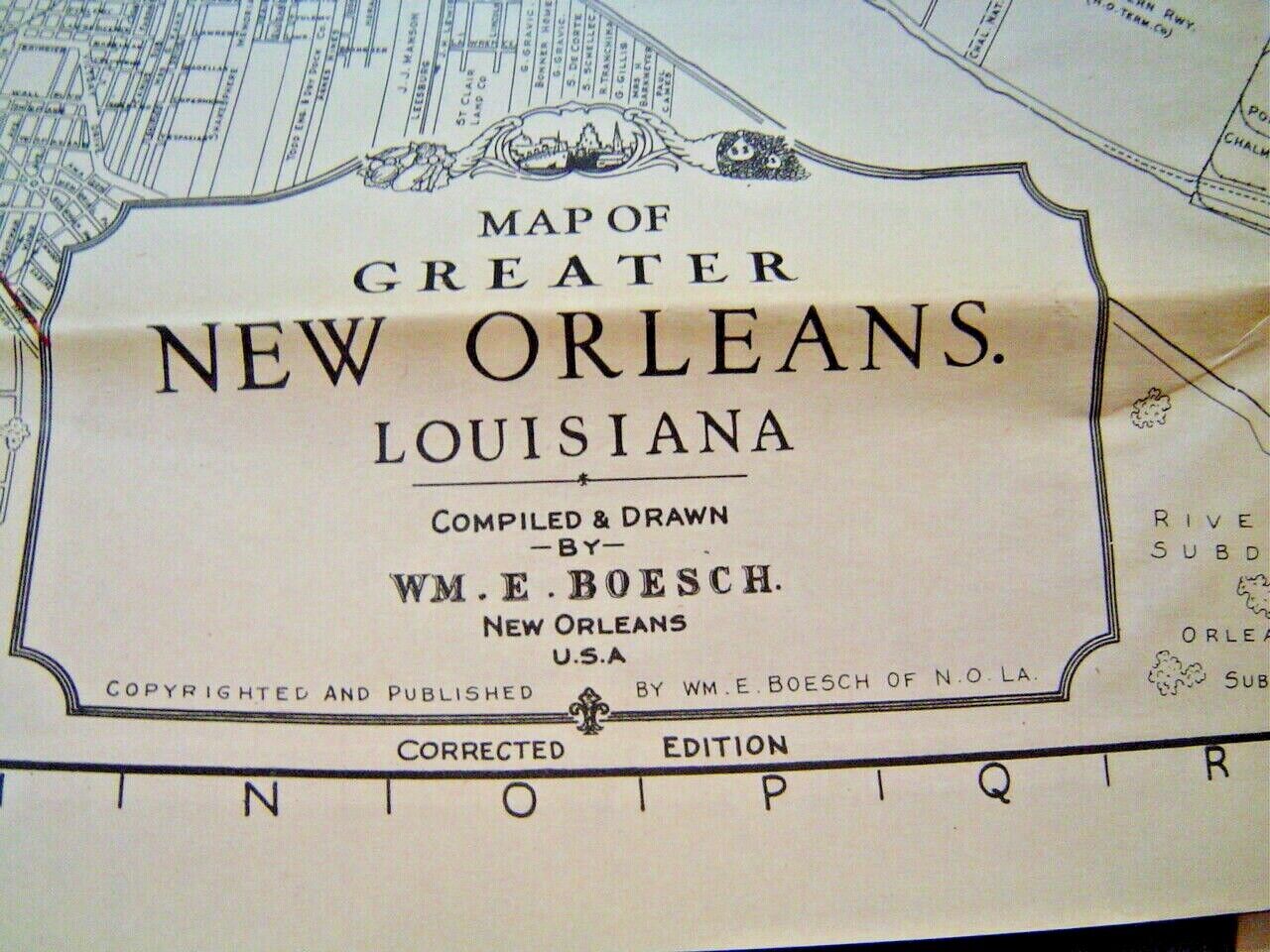
1930's New Orleans Map WM. E. Boesch Co French Quarter+Foldout maps& Vieux Carre
$ 13.2
- Description
- Size Guide
Description
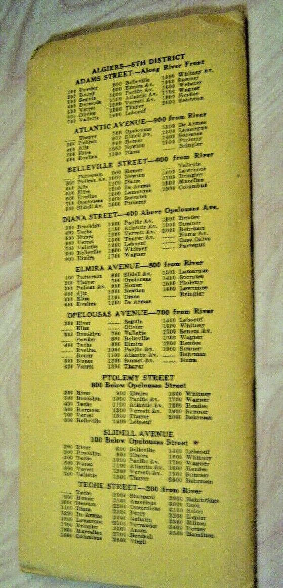
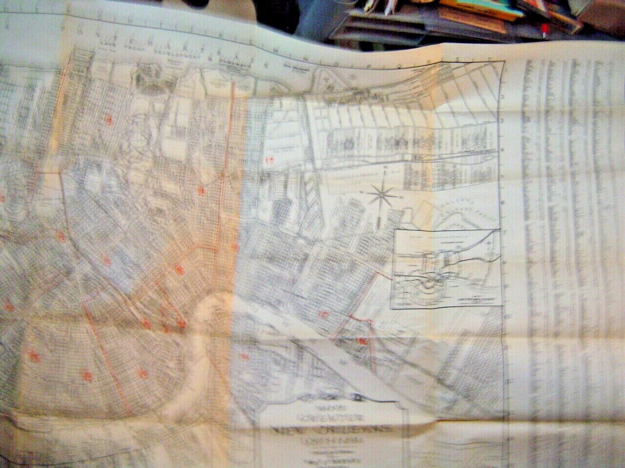
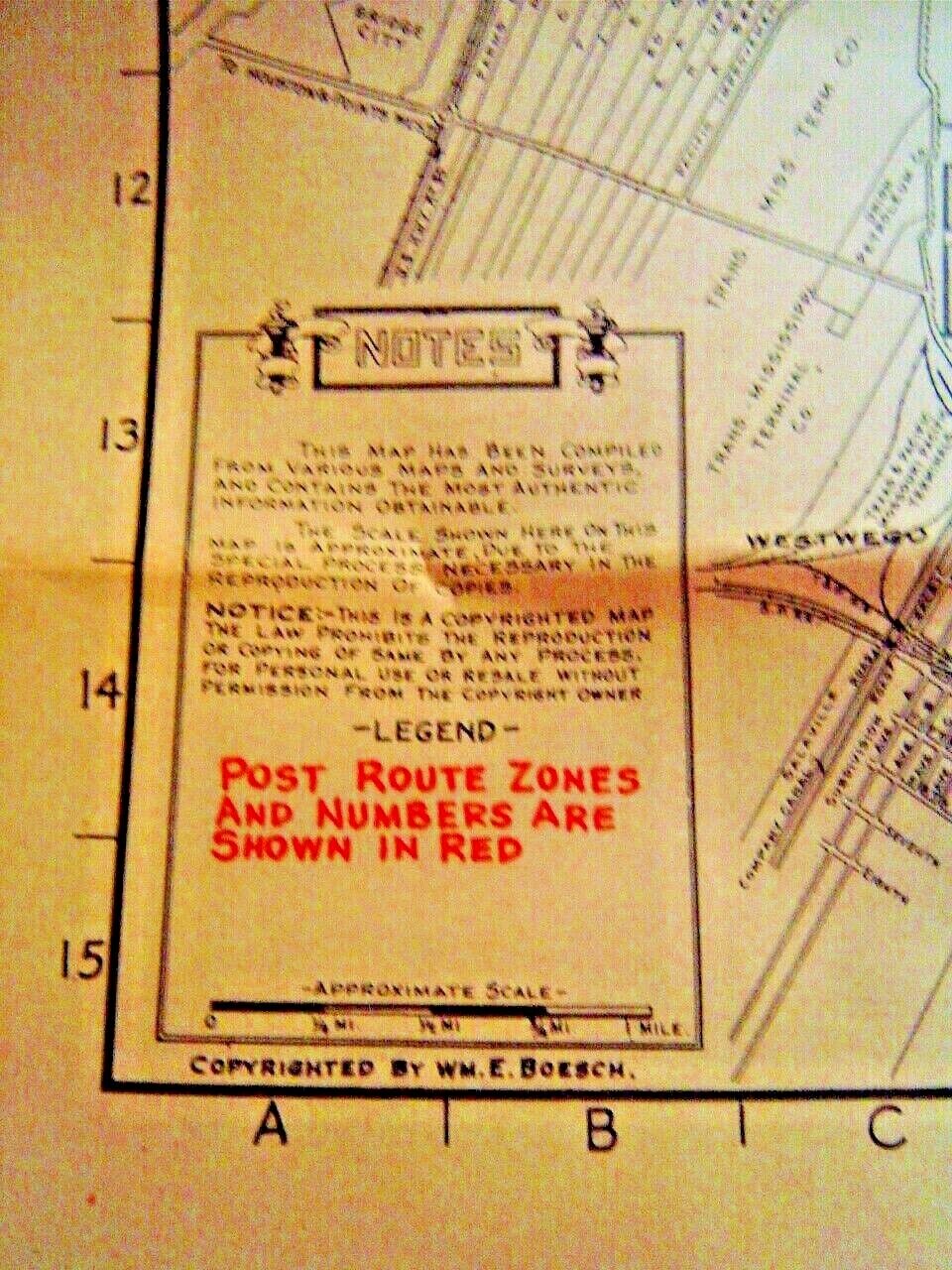
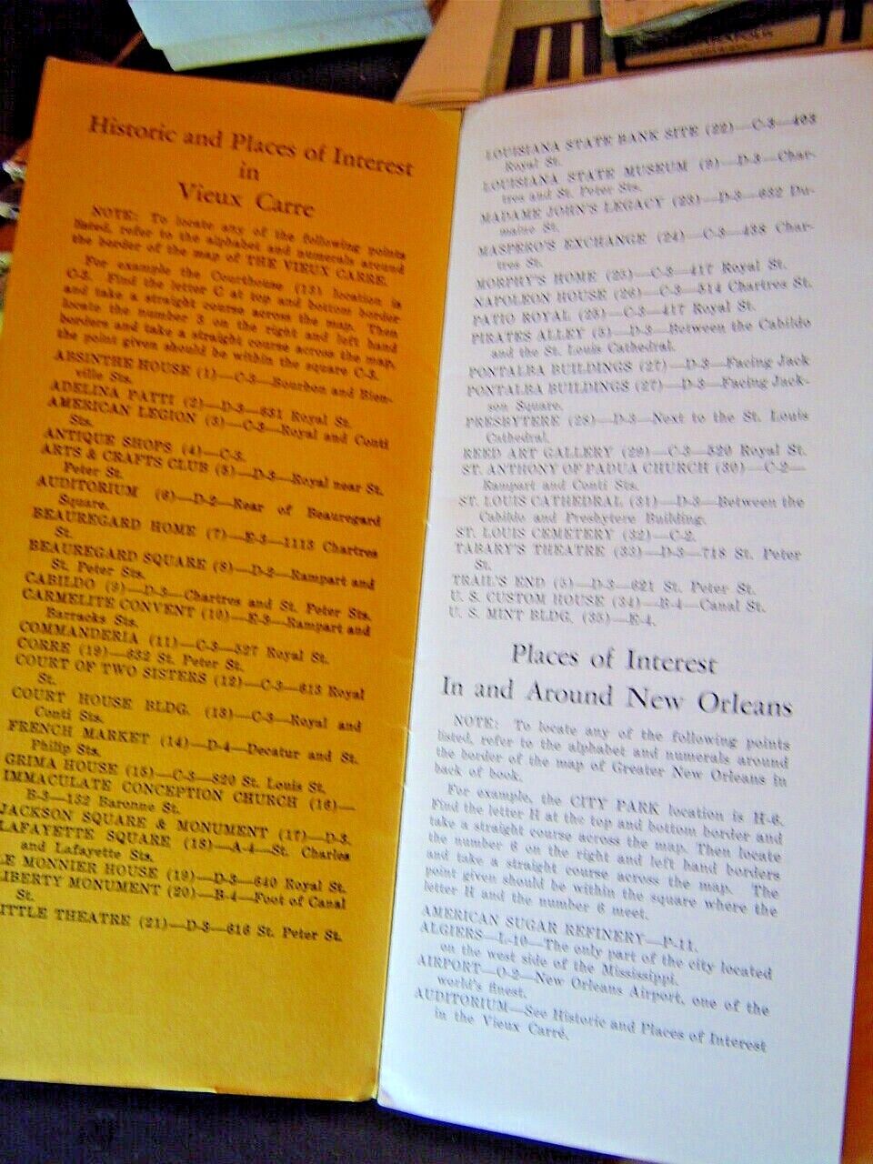
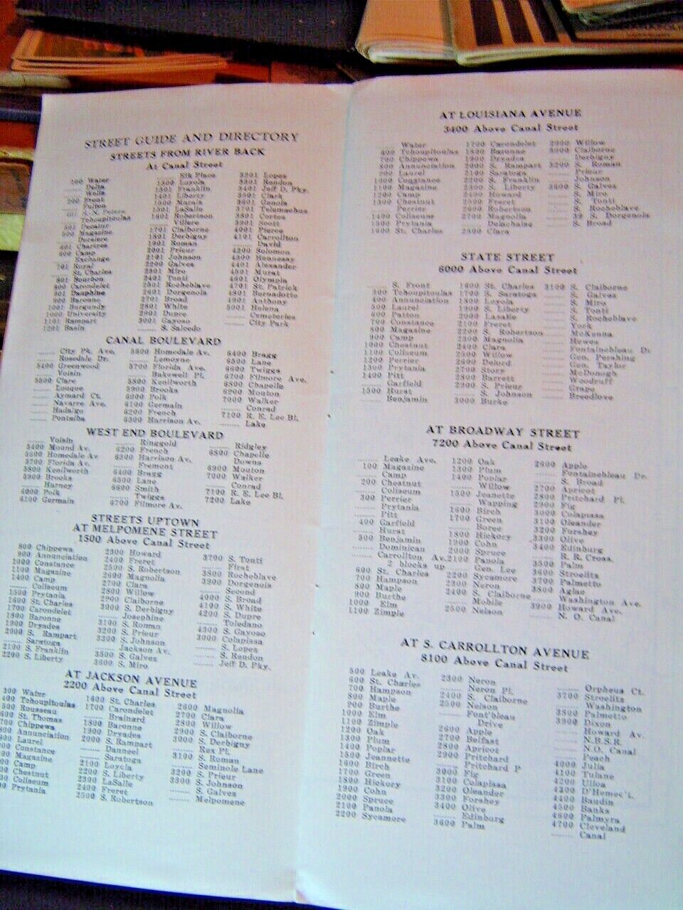
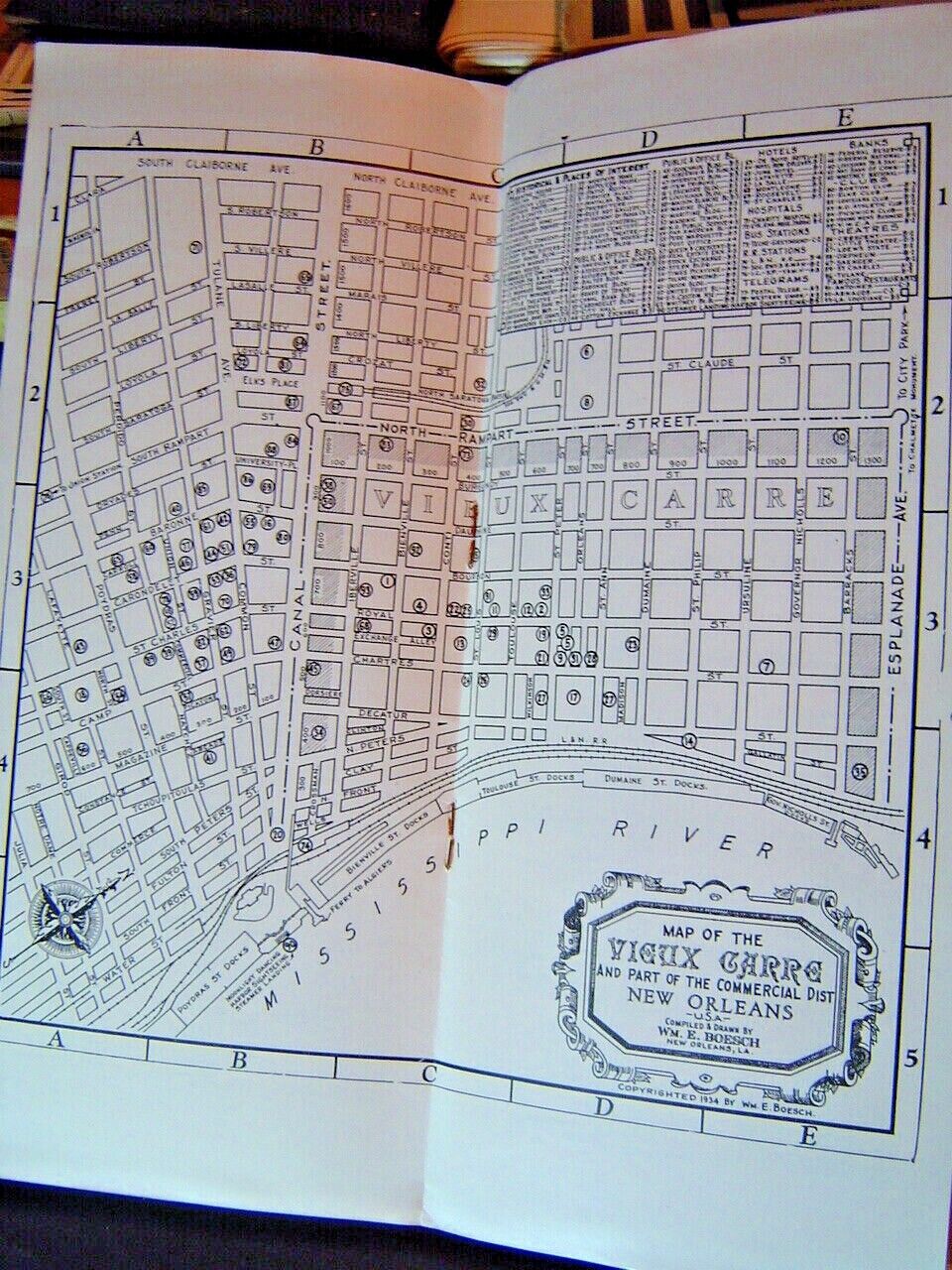
1930's this hard to find Map and Guide contains 2 Maps, one of MAP AND DIRECTORY OF THE VIEUX CARRE AND PART OF THE COMMERCIAL DISTRICT and secured to the back cover is a very large approximately 32" x 25" fold out Map of the entire City and Surrounding areas and contains Map Showing ALL STREETS, HIGHWAYS, HOUSE NUMBERS, RAILROADS, PARKS, WATERWAYS, FERRIES ectvery good condition
See pictures for your grading
Please see High resolution images for any imperfections.
Images are of the actual item you will receive.
Please check out all of the items in our store!
AUTHENTIC / GENUINE / ORIGINAL
Please look at what you get.
The pictures are for your grading and a part of my description for the condition.
Always happy to combine shipping !
Please see my other auctions .
Payment is expected within 3 days of auction close.
I have described the original of this item to the best of my ability and provided detailed photos and measurements of same.
Therefore, it is the Buyers responsibility to insure that this item is correct for their particular application Year/Make/Model/Color.
PLEASE WAIT FOR ME TO SEND YOU AN INVOICE ON MULTIPLE PURCHASES DO NOT PAY EACH ONE SEPARATELY
